Americas Fossil Fuels
Academic Research
Geospatial analysis @ Harvard Graduate School of Design
SCI-6322 — Mapping: Geographic Representation and Speculation
2022
Instructor Eric Robsky Huntley
The Americas' fossil fuel extraction, processing, and transportation
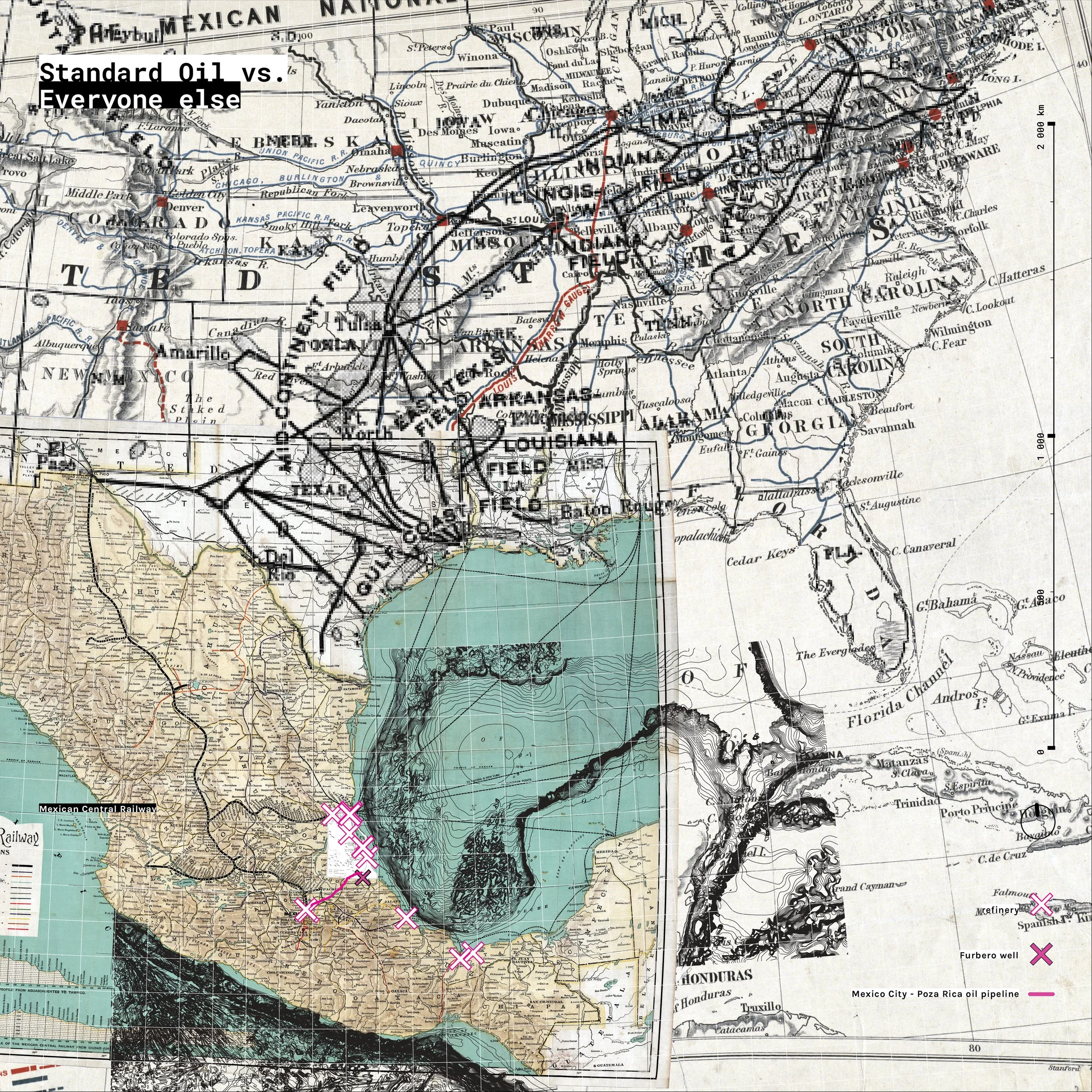
This research project comprise a series of cartographic drawings that blend geospatial data and geological speculation, crafting visual stories on different scales. "The Mexican Fourth Transformation" presents a continental current-history of the Americas, while "Standard Oil vs Everyone" (part of Mexican Petrol-scapes) highlights a historical oil-related codependence between the US and Mexico. In "Oil Polluted Watersheds," the focus shifts to a regional perspective, projecting current and potential oil-related pollution over the Isthmus of Tehuantepec, the narrowest part of Mexico. Lastly, "Oil, Hinterland, Agriculture, and Urbanity" zooms into Salamanca, Gto., narrating the journey of oil-polluted runoff to fresh water sources and agricultural fields.
The Mexican Fourth Transformation—South America
The Mexican Fourth Transformation—North America
Oil Polluted Watersheds—Tehuantepec Itzsm
Oil Polluted Watersheds—Tabasco
Oil, Hinterland, Agriculture, and Urbanity—Salamanca, Gto.
Oil, Hinterland, Agriculture, and Urbanity—Laja River
